BERKS and MONTGOMERY Counties.
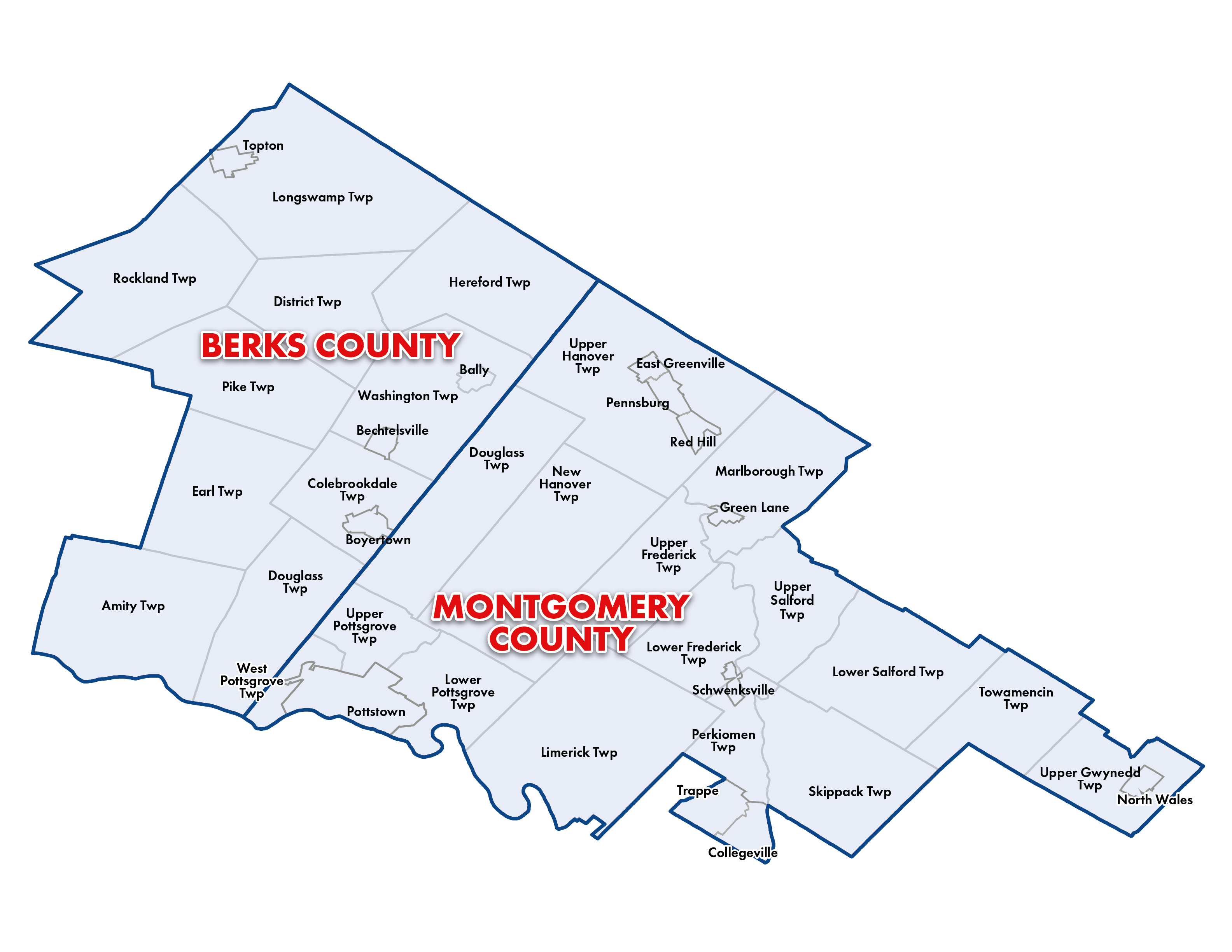
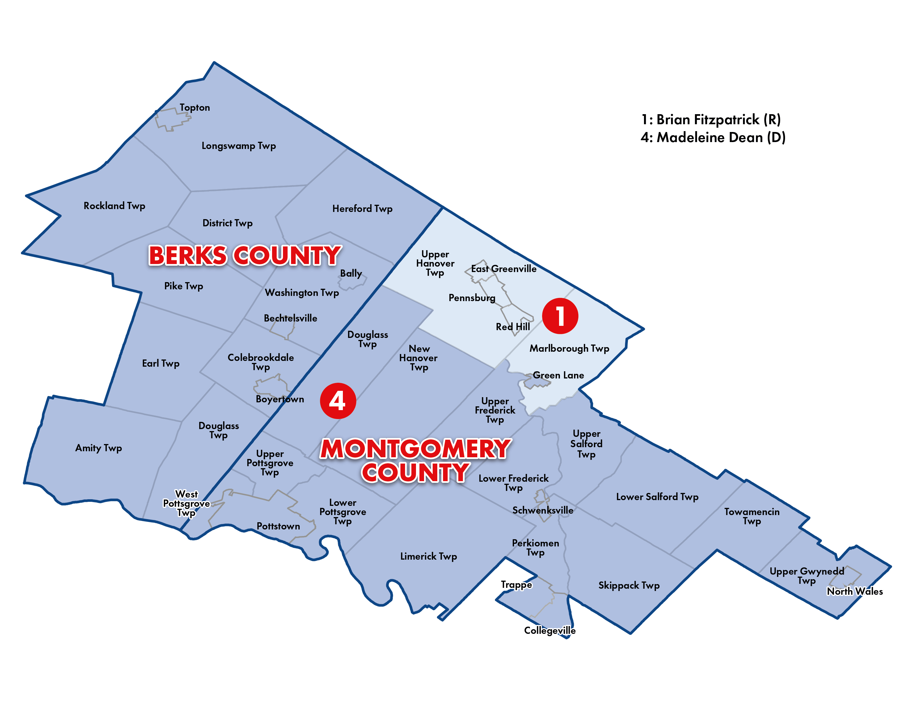
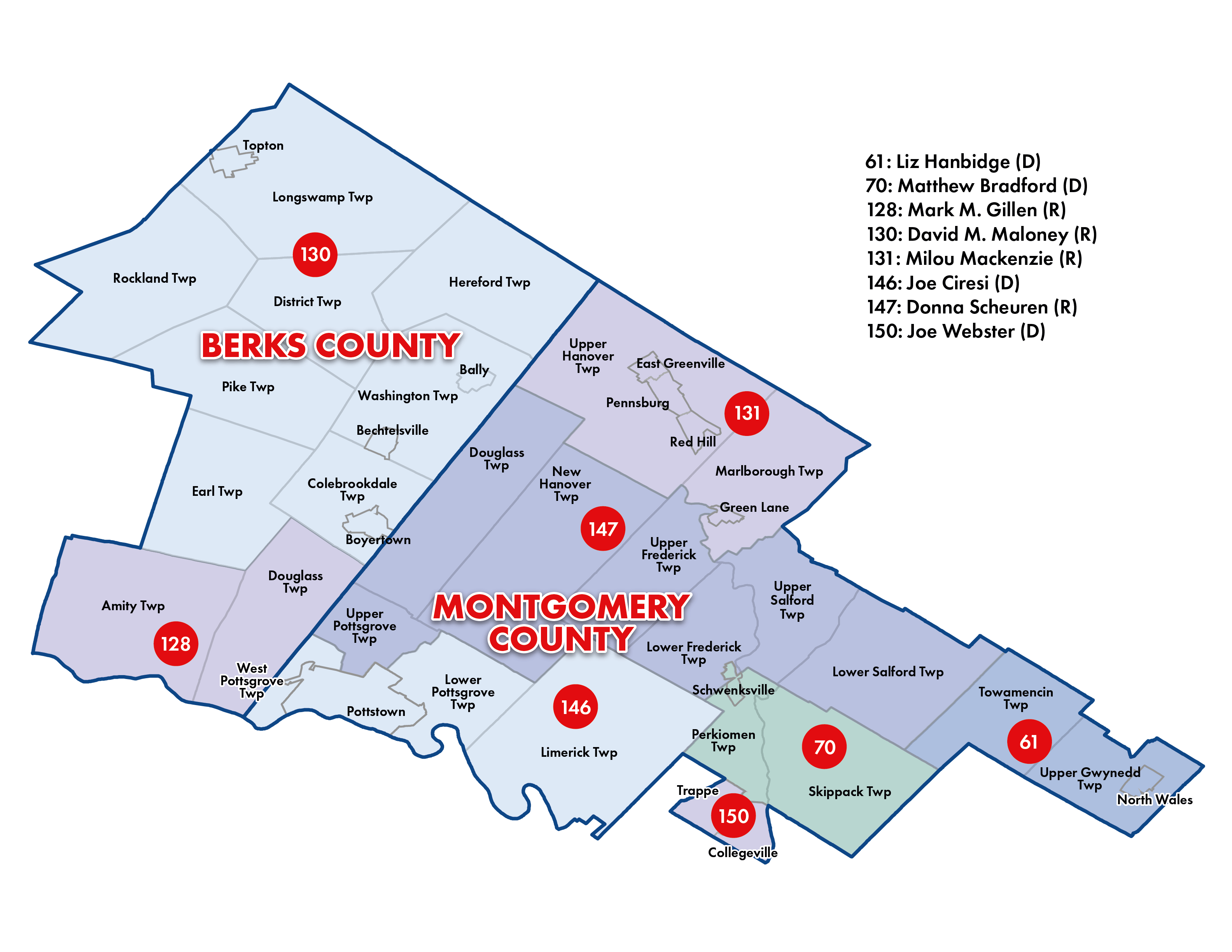
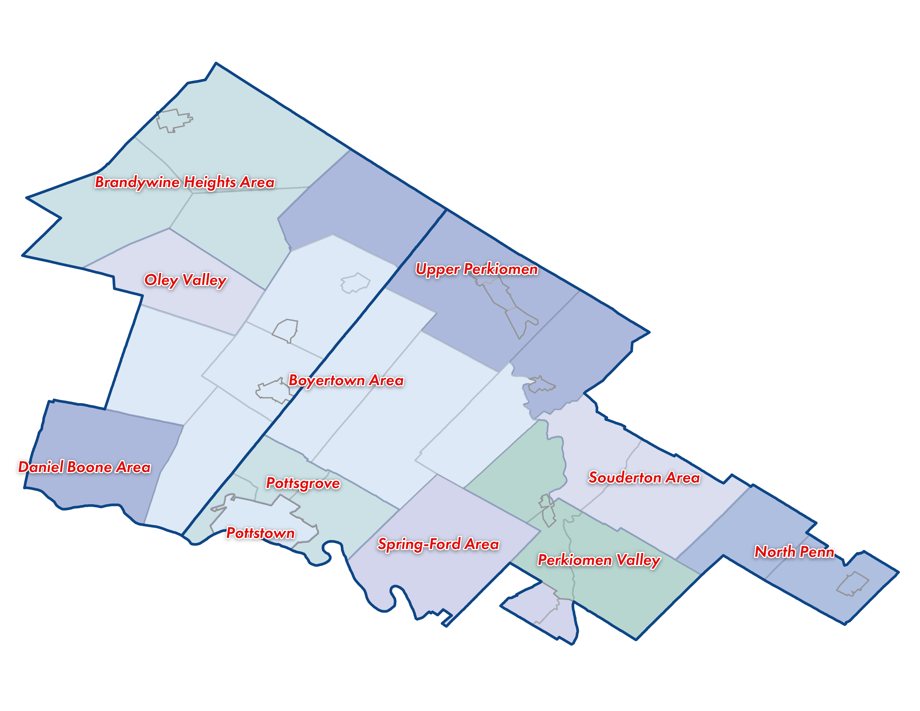
Part of BERKS County consisting of the TOWNSHIPS of Amity, Colebrookdale, District, Douglass, Earl, Hereford, Longswamp, Pike, Rockland and Washington and the BOROUGHS of Bally, Bechtelsville, Boyertown and Topton and Part of MONTGOMERY County consisting of the TOWNSHIPS of Douglass, Limerick, Lower Frederick, Lower Pottsgrove, Lower Salford, Marlborough, New Hanover, Perkiomen, Skippack, Towamencin, Upper Frederick, Upper Gwynedd, Upper Hanover, Upper Pottsgrove, Upper Salford and West Pottsgrove and the BOROUGHS of Collegeville, East Greenville, Green Lane, North Wales, Pennsburg, Pottstown, Red Hill, Schwenksville and Trappe.
Total population: 262,737


